Hurricane Helene sets Columbus weather record. A statistical look at the storm’s impact

READ MORE
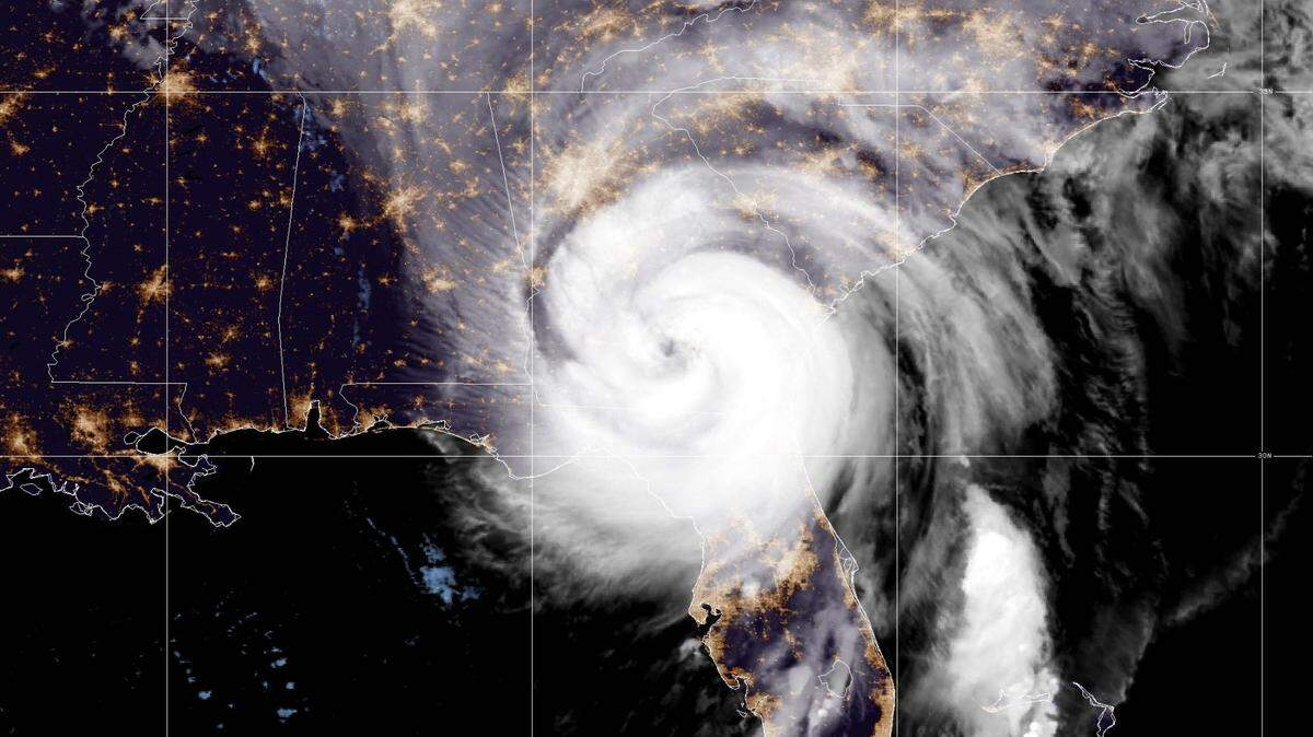
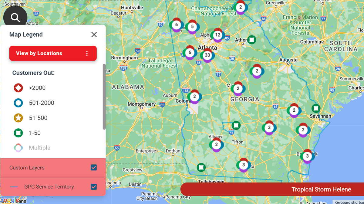
Hurricane Helene
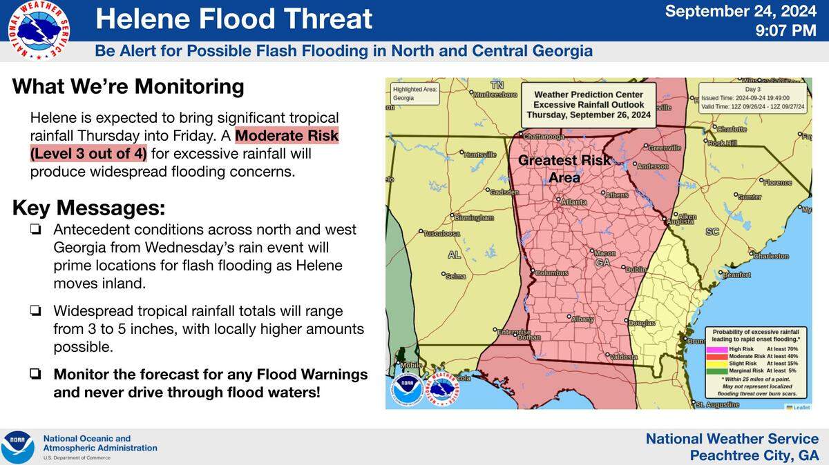
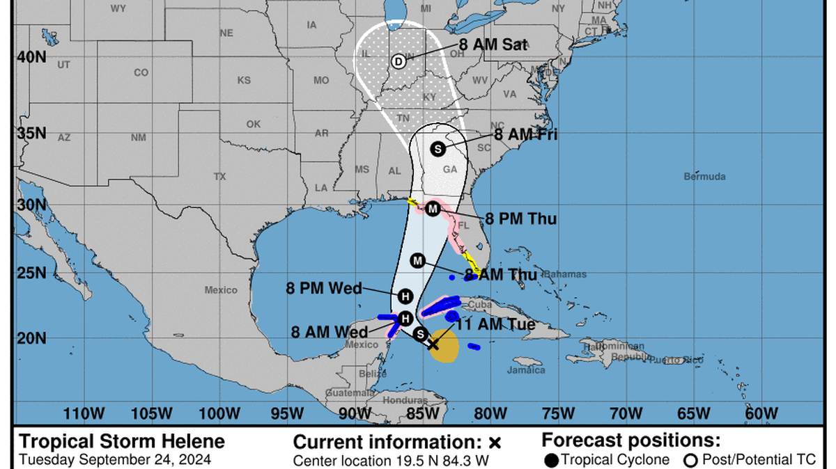
Weather officials upgraded Tropical Storm Helene to a Hurricane Wednesday, September 25, 2024. There are hurricane watches, tropical storm watches and flood watches in effect across nearly all of Georgia until Friday, September 27.
Expand All
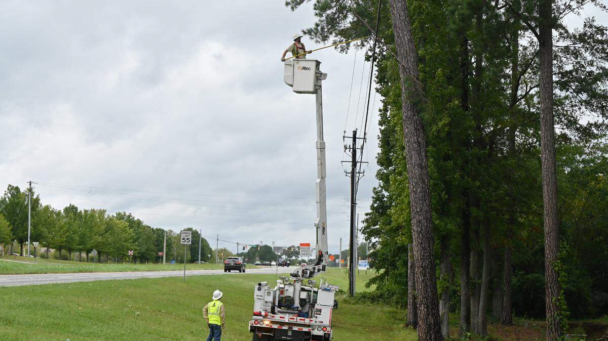
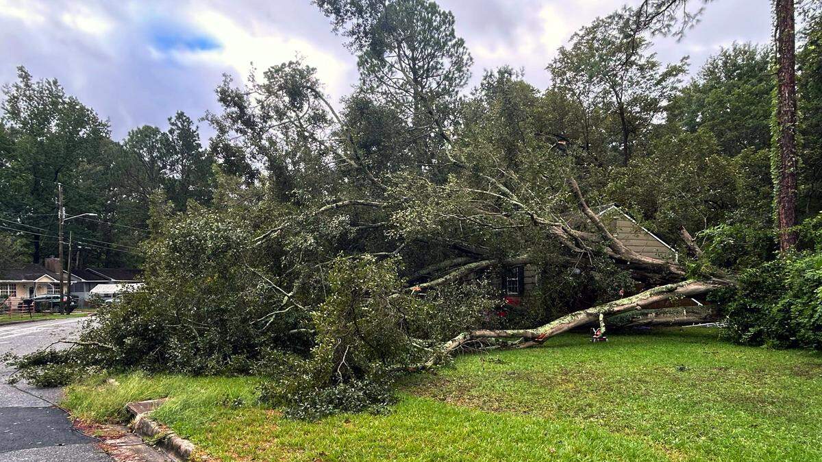
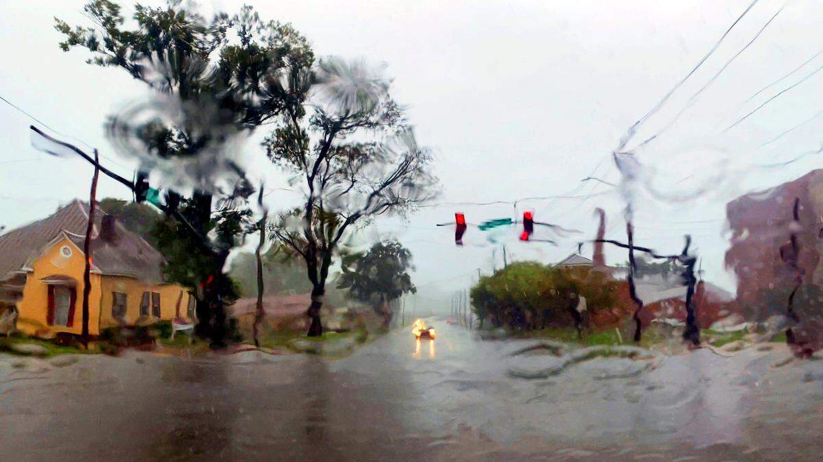
Although the severe weather in Columbus from Hurricane Helene didn’t have a catastrophic impact as originally predicted, the system still made local weather history.
Here’s a statistical look at Hurricane Helene in Columbus, courtesy of meteorologist Ryan Willis at the National Weather Service office in Peachtree City:
The four inches of rain that fell Thursday at the Columbus Airport smashed the city’s previous record for Sept. 26, which was 2.89 inches in 1941.

The peak wind gust from Hurricane Helene at the Columbus Airport was 38 mph at 4:32 a.m. Friday.
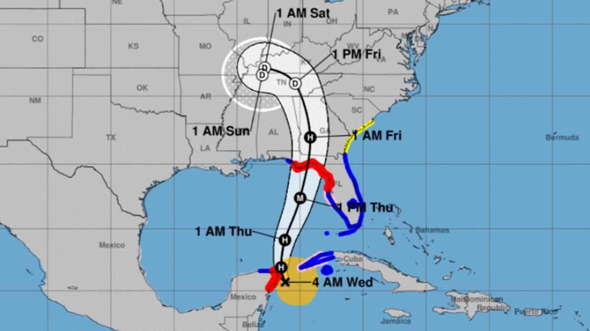
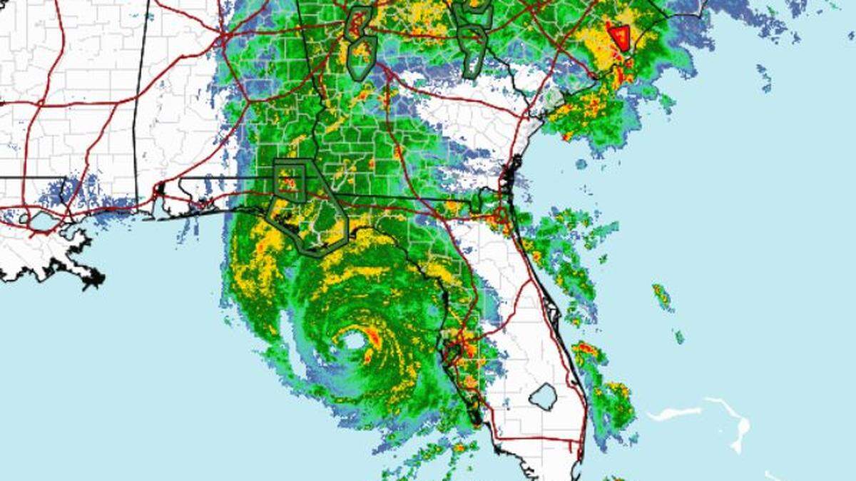
To put those numbers in perspective, when most folks went to bed Thursday night, Columbus was expected to receive a much more brutal blow from Hurricane Helene, which was a Category 4 storm when it made landfall at Florida’s Big Bend. But in Georgia, the storm veered eastward overnight and mostly spared Columbus.

For example, peak wind speed in Macon was 59 mph and over 80 mph in Augusta. And while Columbus received 6.2 inches of rain since Tuesday, Atlanta set its two-day rainfall record with a total of 11.12 inches.
“The good news for Columbus is that the core of the impact skirted to the east, so it wasn’t as impactful as it could have been,” Willis told the Ledger-Enquirer. “The discrepancy from the center of the track is pretty small within the cone of uncertainty. That little shift can mean a huge impact for locations like Columbus. That’s why we try to stress a whole area should be prepared because somebody in that area will get the peak impact.”

This story was originally published September 27, 2024 at 3:17 PM.